
(log in to access this feature)

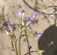
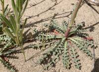
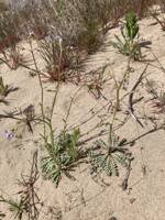
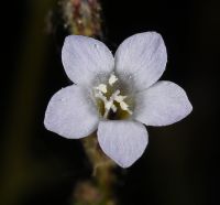
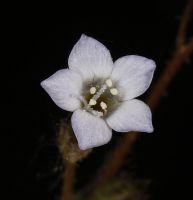
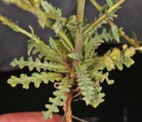
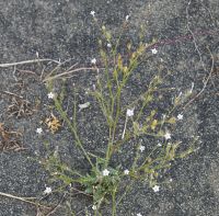
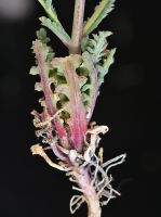
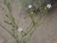
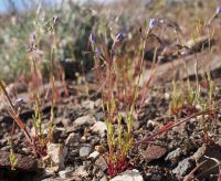
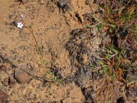
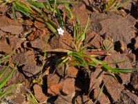
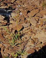
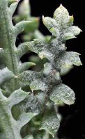
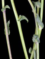
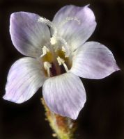
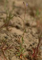
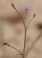
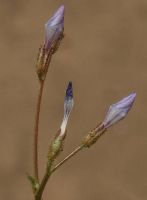
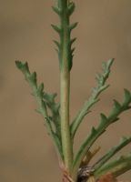
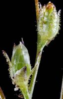
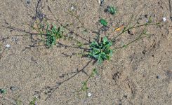
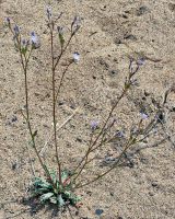
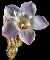
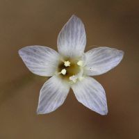
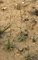
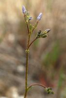
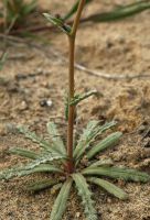
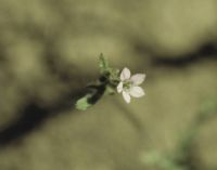
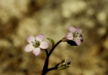
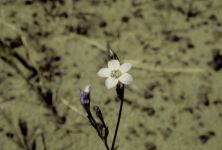
Photo © 2020 Robert L. Carr. Please contact the photographer to request permission to use this photo. If the photographer cannot be reached, inquire with the Collections Manager.
Photo metadata:
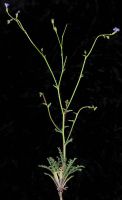
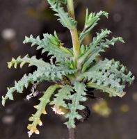
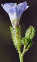
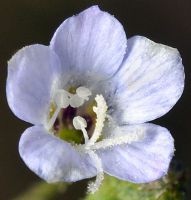
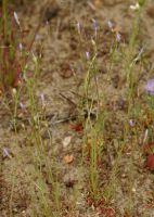
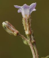
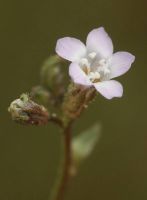
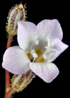
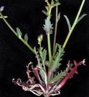
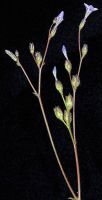
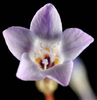
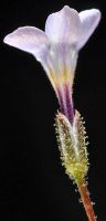
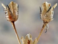
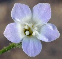
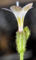
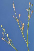
Original identification: Gilia sinuata
Current identification: Gilia sinuata
Photographer: Robert L. Carr
Date Photographed: May 24, 2020
Location: U.S.A., Washington, Grant County: S of Sand Dune Rd., ca. 3.2 mi. S of South Frontage Rd. NW in Moses Lake, 1.1 air mi. SSW of Gaileys Island
Elevation: [not provided]
Coordinates: 47.05975° N, 119.32857° W
Phenology: Flowers