


(log in to access this feature)

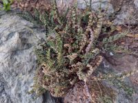
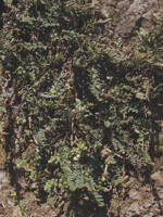
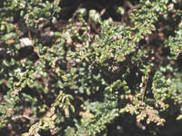
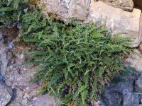
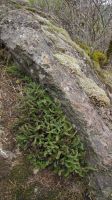
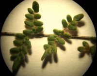
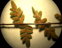
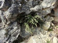
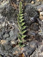
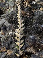
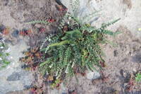
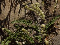
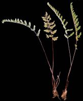
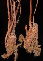
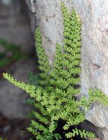
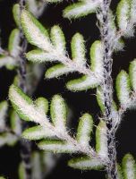
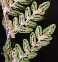
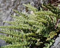
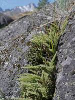
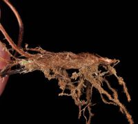
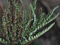
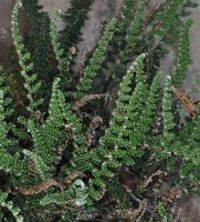
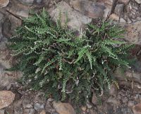
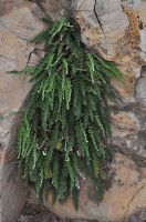
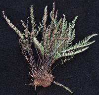
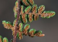
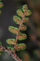
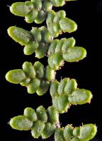
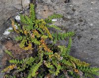
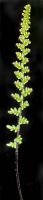
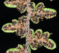
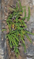
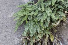
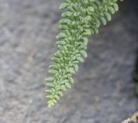
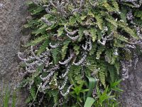
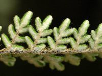
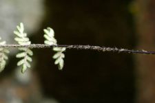
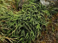
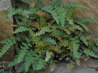
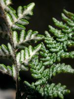
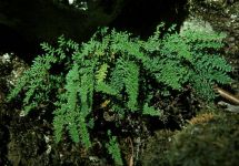
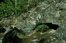
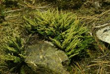
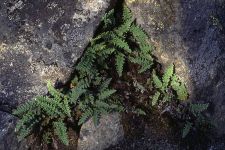
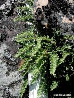
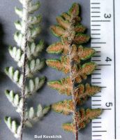
Photo © 2012 Robert L. Carr. Please contact the photographer to request permission to use this photo. If the photographer cannot be reached, inquire with the Collections Manager.
Photo metadata:
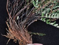
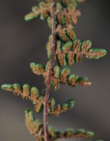
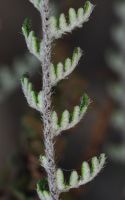
Original identification: Myriopteris gracillima
Current identification: Myriopteris gracillima
Photographer: Robert L. Carr
Date Photographed: July 14, 2012
Location: U.S.A., Washington, Columbia County: Along NF 64, 1.6 mi. N of Table Rock entrance, ca. 20.5 air mi, S of Dayton
Elevation: [not provided]
Coordinates: 46.05148° N, 117.91198° W