


(log in to access this feature)
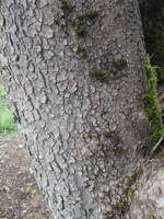
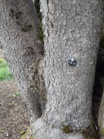
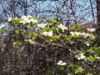
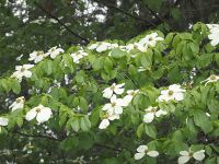
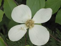
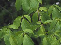
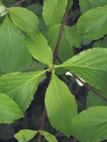
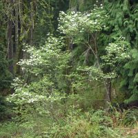
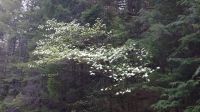
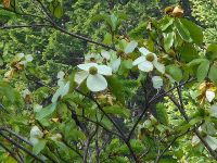
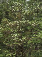
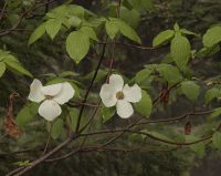
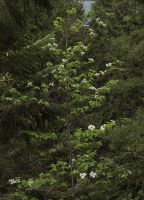
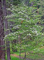
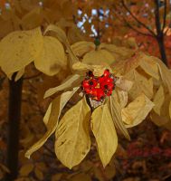
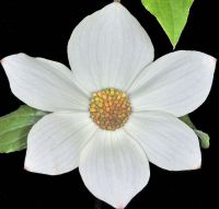
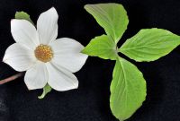
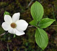
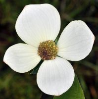
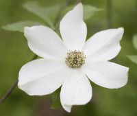
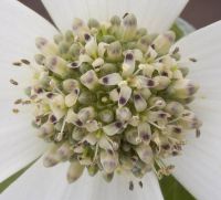
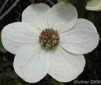
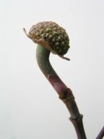
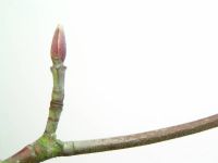
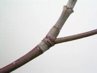
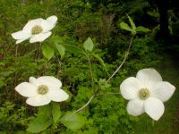
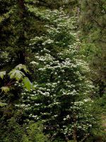
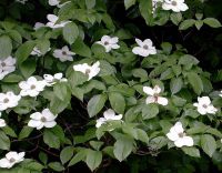
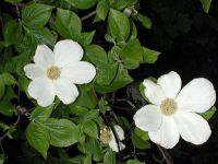
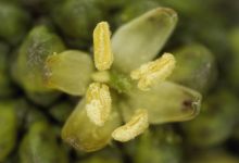
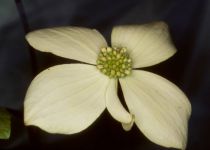
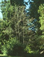
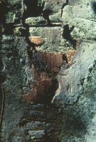
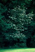
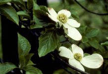
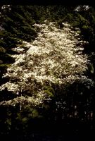
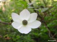
Photo © 2010 Robert L. Carr. Please contact the photographer to request permission to use this photo. If the photographer cannot be reached, inquire with the Collections Manager.
Photo metadata:
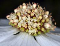
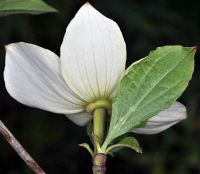
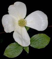
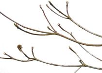
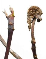
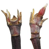
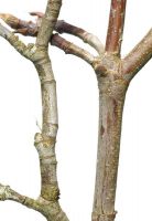
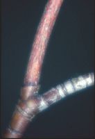
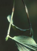
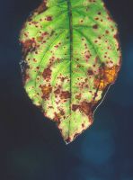
Original identification: Cornus nuttallii
Current identification: Cornus nuttallii
Photographer: Robert L. Carr
Date Photographed: April 29, 2010
Location: U.S.A., Washington, Benton County: Alsea Hwy (SR-34), 6.2 mi. SW of jct. with Hwy 20, SW of Philomath
Elevation: 490 ft.
Coordinates: 44.47458° N, 123.46619° W